← 返回創作者庫
Hikelopedia 理察爬山百科 YouTube 頻道頭像

YouTube 頻道

Hikelopedia 理察爬山百科

@Hikelopedia 理察爬山百科 · TW

I’m Richard, a Brit who has been living and working in Asia for half my life. During this time I have developed a passion for exploring this region, both on foot and on two wheels. The aim of this channel is to introduce this amazing continent, its culture and history via my hiking, biking, and eating adventures. When not out exploring I also like to read - mainly history. Oh, and also spend time with my family.

查看 YouTube 頻道

核心表現

公開快照中的近期可用數據

資料維度載入中
訂閱數75,200
觀看數7,733,334
影片數382

近期內容表現

以同一觀看單位比較最多三支公開影片

3 支可比較內容
Is hiking South Korea's highest peak difficult? ⛰️ 單攻漢拏山有多困難?(中文字幕)YouTube 影片
3,991
The ULTIMATE Taiwan river trace - The Golden Grotto | 台灣最棒的遡溪任務 — 花蓮黃金峽谷 + 台灣最好吃的美食 BBQ (有中文字幕)YouTube 影片
5,935
ATTACKED BY WILD DOGS!! 🐕🐕 野狗襲擊!!! 若要走這條步道,請多加小心 (有中文字幕)YouTube 影片
5,552

近期影片

Is hiking South Korea's highest peak difficult? ⛰️ 單攻漢拏山有多困難?(中文字幕) 縮圖

Is hiking South Korea's highest peak difficult? ⛰️ 單攻漢拏山有多困難?(中文字幕)

Join this channel to get access to perks: https://www.youtube.com/channel/UCTSAfzs2X_VG9-jE5zmEplA/join Join Coral and I as we take a break from our family holiday in beautiful Jeju Island to scale South Korea’s highest peak. Find my socials, Strava, etc: https://linktr.ee/hikelopedia For bespoke travel plans/hikes message me directly at: hikelopedia@gmail Support Hikelopedia: Click on “Thanks” below the video. or Get a patch, stickers, digital downloads or make a contribution at my “Buy Me a Coffee” page: https://www.buymeacoffee.com/hikelopedia Sign up for Nord VPN and stay protected while hiking and travelling. Click the link below for an extra month free! 透過Hikelopedia優惠連結,購買 NordVPN 兩年方案,額外送 4 個月: https://nordvpn.com/hike Hike Map: https://maps.suunto.com/move/richardhazeldine/6a59a72c636f114c97275533 Reservations: You need to reserve a spot on the official website (it’s very easy) and take ID on the day of the hike. https://visithalla.jeju.go.kr/main/main.do Cafe Layered: https://www.instagram.com/cafe_layered/ Transport: The trailheads are located on different sides of the mountain. The Seongpanak Trailhead is on the east side of the mountain and can be reached via the 281 bus. Buses depart every 10 to 15 minutes, taking approximately 40 minutes. Details here: https://en.namu.wiki/w/%EC%A0%9C%EC%A3%BC%20%EB%B2%84%EC%8A%A4%20281 https://bus.jeju.go.kr/schedule/view/281 The Gwaneumsa Trailhead is on the north side and is a bit more awkward to reach. Getting a cab is probably the best way, but you can also get to the trailhead on the 475 bus from near Jeju University, but you will need to take another bus first. Details here: https://en.namu.wiki/w/%EC%A0%9C%EC%A3%BC%20%EB%B2%84%EC%8A%A4%20475 https://bus.jeju.go.kr/schedule/view/475

觀看 3,991按讚 394留言 17
觀看影片 ↗
The ULTIMATE Taiwan river trace - The Golden Grotto | 台灣最棒的遡溪任務 — 花蓮黃金峽谷 + 台灣最好吃的美食 BBQ (有中文字幕) 縮圖

The ULTIMATE Taiwan river trace - The Golden Grotto | 台灣最棒的遡溪任務 — 花蓮黃金峽谷 + 台灣最好吃的美食 BBQ (有中文字幕)

Join me, Everest and a special guest as we change things up and head to the beautiful east coast, travelling up river to one of Taiwan’s premier river tracing spots . Find my socials, Strava, etc: https://linktr.ee/hikelopedia Support Hikelopedia: Click on “Thanks” below the video. or Get a patch, stickers, digital downloads or make a contribution at my “Buy Me a Coffee” page: https://www.buymeacoffee.com/hikelopedia Sign up for Nord VPN and stay protected while hiking and travelling. Click the link below for an extra month free! 透過Hikelopedia優惠連結,購買 NordVPN 兩年方案,額外送 4 個月: https://nordvpn.com/hike *WARNING* River tracing is fun, but can be extremely dangerous for those without the proper equipment or relevant experience. Please do not attempt technical traces such as the Golden Grotto without the proper gear or experience. Novice tracers should always go with an experienced guide.. Hike Map: https://maps.suunto.com/move/richardhazeldine/6a464e0b8fd7f0795a1287a2 The Map Room: https://www.maproomexplorers.com/ Salt Lick: https://www.lickbbq.com/ Transport: The trailhead is located at Sanzhan Village (三棧部落) around 30 minutes north of Hualien CIty. There is no public transport available. The easiest way to get there is to rent a scooter as we did, or take a cab. There are dozens of scooter rental places outside Hualien railway station. Tourists to Taiwan can rent scooters but will need an International Drivers Permit with a scooter/motorcycle class. It’s very rare they will rent a scooter to you without a valid license. Join this channel to get access to perks: https://www.youtube.com/channel/UCTSAfzs2X_VG9-jE5zmEplA/join

觀看 5,935按讚 578留言 29
觀看影片 ↗
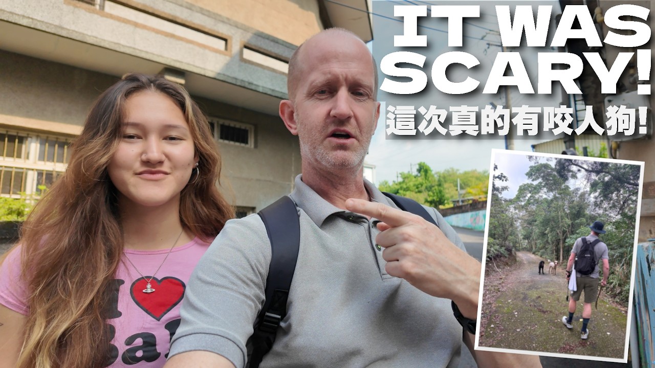
ATTACKED BY WILD DOGS!! 🐕🐕 野狗襲擊!!! 若要走這條步道,請多加小心 (有中文字幕) 縮圖

ATTACKED BY WILD DOGS!! 🐕🐕 野狗襲擊!!! 若要走這條步道,請多加小心 (有中文字幕)

Join my daughter, Coral and I, as we attempt to hike this relaxed 5km loop trail in rural Hsinchu County while at the same time fighting off two aggressive wild dogs. Find my socials, Strava, etc: https://linktr.ee/hikelopedia Support Hikelopedia: Click on “Thanks” below the video. or Get a patch, stickers, digital downloads or make a contribution at my “Buy Me a Coffee” page: https://www.buymeacoffee.com/hikelopedia Sign up for Nord VPN and stay protected while hiking and travelling. Click the link below for an extra month free! 透過Hikelopedia優惠連結,購買 NordVPN 兩年方案,額外送 4 個月: https://nordvpn.com/hike Hike Map: https://maps.suunto.com/move/richardhazeldine/6a3c984d1d9590170fabb851 Transport: To get to the trailhead you can catch either the 5619 or 5620 bus from Hsinchu Station (新竹站) and alight at Shiguang (石光). https://www.taiwanbus.tw/eBUSPage/Query/QueryResult.aspx?rno=56190&rn=1608974679032&lan=C Join this channel to get access to perks: https://www.youtube.com/channel/UCTSAfzs2X_VG9-jE5zmEplA/join

觀看 5,552按讚 498留言 27
觀看影片 ↗
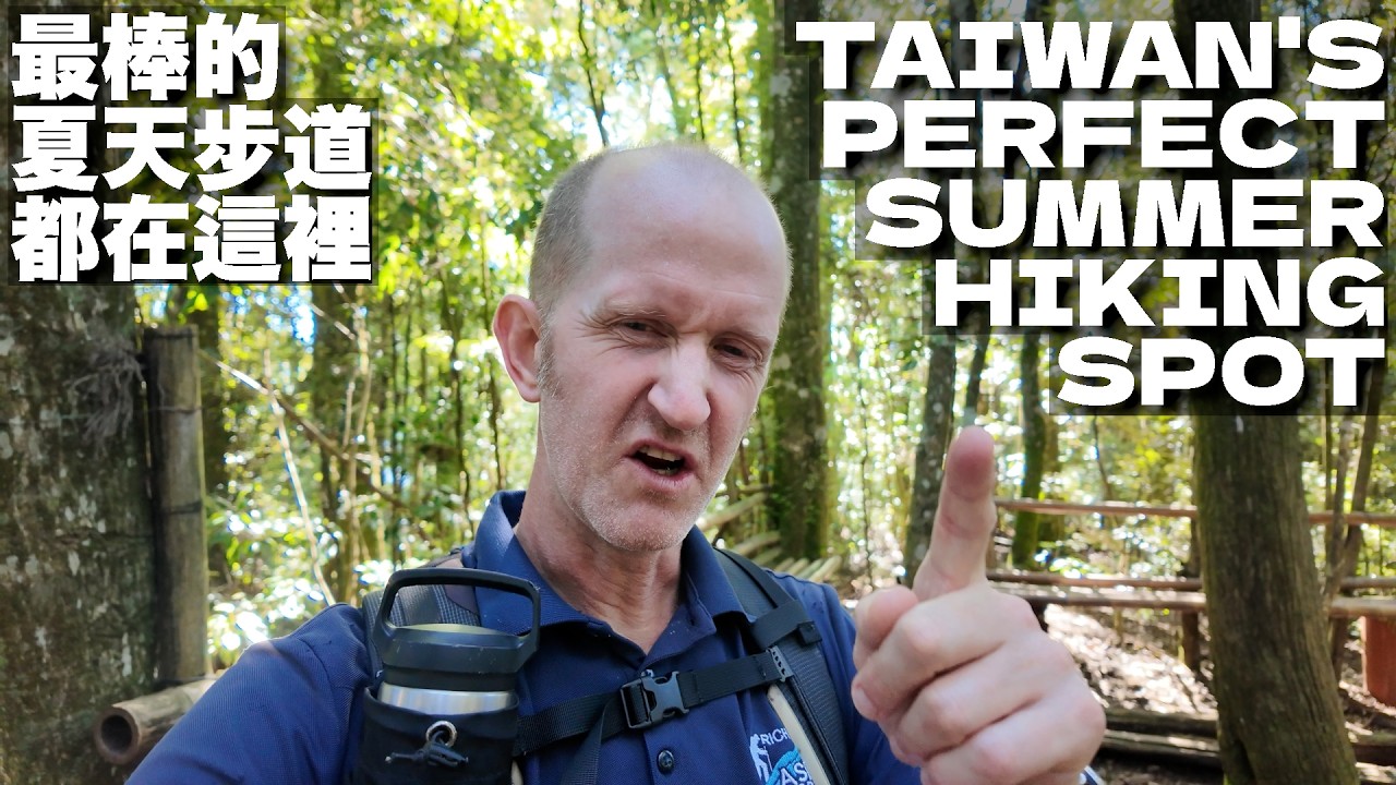
THE BEST PLACE IN TAIWAN FOR SUMMER HIKES - 如果你想在夏天去健行— 那就該來這裡!(有中文字幕) 縮圖

THE BEST PLACE IN TAIWAN FOR SUMMER HIKES - 如果你想在夏天去健行— 那就該來這裡!(有中文字幕)

Join me as I escape from the summer heat to one of my favourite mountain roads for a relaxed and more importantly cool mid-altitude hike. Find my socials, Strava, etc: https://linktr.ee/hikelopedia Support Hikelopedia: Click on “Thanks” below the video. or Get a patch, stickers, digital downloads or make a contribution at my “Buy Me a Coffee” page: https://www.buymeacoffee.com/hikelopedia Sign up for Nord VPN and stay protected while hiking and travelling. Click the link below for an extra month free! 透過Hikelopedia優惠連結,購買 NordVPN 兩年方案,額外送 4 個月: https://nordvpn.com/hike Hike Map: https://maps.suunto.com/move/richardhazeldine/6a4c709924345244e64b9bab Restaurant: https://www.facebook.com/p/%E8%88%92%E9%A3%9F%E6%8F%90%E6%A1%88-%E6%BE%86%E8%93%8B%E9%A3%AF-61559948923538/ Transport: Driving to the trailhead at the 19.8km mark of the Da Xueshan Forest Road (大雪山林道) is by far the easiest option as there is plentiful parking along the roadside. You can also take the bus. The 889 bus leaves from Fengyuan Transfer Center (豐原轉運中心) but there are only four services per day and seats must be reserved. Alight at Mt. Changshou (長壽山) for the trailhead. Details can be found here: https://travel.taichung.gov.tw/taichung-tour-bus/zh-tw/route/889 Join this channel to get access to perks: https://www.youtube.com/channel/UCTSAfzs2X_VG9-jE5zmEplA/join

觀看 11,892按讚 791留言 38
觀看影片 ↗
A CHALLENGING YET FUN ESCAPE FROM THE CITY HEAT! 新的登山夥伴+一家我們一直很喜歡的咖啡館 (有中文字幕) 縮圖

A CHALLENGING YET FUN ESCAPE FROM THE CITY HEAT! 新的登山夥伴+一家我們一直很喜歡的咖啡館 (有中文字幕)

Join me, Andrew and our new hiking partner as we tackle a fun, yet challenging route in a lesser explored part of New Taipei that runs along the border of Yangmingshan National Park. Find my socials, Strava, etc: https://linktr.ee/hikelopedia Support Hikelopedia: Click on “Thanks” below the video. or Get a patch, stickers, digital downloads or make a contribution at my “Buy Me a Coffee” page: https://www.buymeacoffee.com/hikelopedia Sign up for Nord VPN and stay protected while hiking and travelling. Click the link below for an extra month free! 透過Hikelopedia優惠連結,購買 NordVPN 兩年方案,額外送 4 個月: https://nordvpn.com/hike Hike Map: https://maps.suunto.com/move/richardhazeldine/6a1fcfb6cd0e8177f3e7c8c8 Star City Coffee: https://www.facebook.com/p/%E4%BA%94%E6%8C%87%E5%B1%B1%E6%98%9F%E5%9F%8E%E5%92%96%E5%95%A1%E5%BB%B3-100063926655175/?locale=zh_TW Transport: To get to the trailhead take the F910 free bus from opposite Xizhi train station (汐止火車站) and alight at Liao Cuo (廖厝). Join this channel to get access to perks: https://www.youtube.com/channel/UCTSAfzs2X_VG9-jE5zmEplA/join

觀看 6,258按讚 574留言 22
觀看影片 ↗
發現一家隱藏版美食寶藏餐廳 — 烏來一日遊 |WHEN YOU FIND A HIDDEN GEM OF A RESTAURANT: WULAI & BEYOND - (有中文字幕) 縮圖

發現一家隱藏版美食寶藏餐廳 — 烏來一日遊 |WHEN YOU FIND A HIDDEN GEM OF A RESTAURANT: WULAI & BEYOND - (有中文字幕)

Andrew and I headed to the hot spring haven of Wulai in New Taipei for a hike, but things quickly went wrong. Join us as we make the best of a chaotic day! Find my socials, Strava, etc: https://linktr.ee/hikelopedia Support Hikelopedia: Click on “Thanks” below the video. or Get a patch, stickers, digital downloads or make a contribution at my “Buy Me a Coffee” page: https://www.buymeacoffee.com/hikelopedia Sign up for Nord VPN and stay protected while hiking and travelling. Click the link below for an extra month free! 透過Hikelopedia優惠連結,購買 NordVPN 兩年方案,額外送 4 個月: https://nordvpn.com/hike Hike Map: https://maps.suunto.com/move/richardhazeldine/6a0404373f38ab4d6b9ddb77 Mi's Kitchen: https://www.mikitchen.online/ Transport: There is no public transport directly to the trailhead, but you can get to Wulai (烏來) via bus and then catch a cab or walk around 45 minutes to the trailhead at Xinxian Bridge (信賢吊橋). Join this channel to get access to perks: https://www.youtube.com/channel/UCTSAfzs2X_VG9-jE5zmEplA/join

觀看 4,779按讚 500留言 18
觀看影片 ↗

資料擷取時間:2026-09-08T07:02:52.000000Z

公開欄位僅來自目前發布的 YouTube 頻道快照;缺值以「—」呈現。